MetaBIMTM Services
Accurately detailing the built environment.
Our skilled crews use cutting-edge tools
and methods for accurate, reliable data.
|
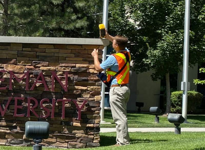
Maps and Grounds
Aerial drones, GPS units, range-finders,
crews on the ground to ensure everything
is right where it is.
|
Buildings and Space
Building models, floor
plans, square footages,
space inventories, 360°
photos, occupancy and
facilities equipment.
|
Project Databases
Review, close-out and
organize essential
construction data for
easy access over the
life of the facility.
|
Plan Room Support
Scan, catalog and file in
an easy to use Digital
Plan Room, indexed to
facilities, backups
for archival.
|
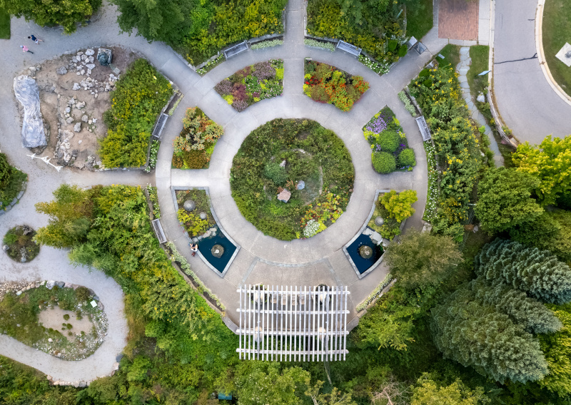
CMS
Campus Mapping
Survey campus property and grounds.
|
|
Buildings, roads, walkways, fixtures |
|
|
Boots-on-the-ground cartography |
|
|
Precise geo-referencing of features |
|
|
High-resolution orthographic imagery |
|
|
FacilitiesLink integration and GIS exports |
Accurate Maps of Campus
|
RAP
Remote Aerial Photos
Develop aerial imagery with drone technology.
|
|
Capital improvement jobsite snapshots |
|
|
Top-down orthographic and oblique views |
|
|
360° orbital videos of building exteriors |
|
|
Trained FAA Part 107 licensed drone pilots |
|
|
FacilitiesLink integration and GIS exports |
Drone Flights and Photos

|
DIG
Inventory of Grounds
Organize campus into outdoor ground areas.
|
|
Improvements, hardscapes & softscapes |
|
|
On-site boundary and grounds verification |
|
|
Precise calculation of surface area by type |
|
|
Classification of outdoor places & spaces |
|
|
FacilitiesLink integration and GIS exports |
Outdoor Places and Spaces
|
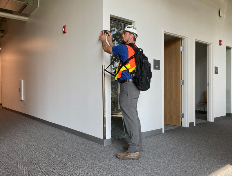
XBS
Existing Building Surveys
Survey and draft existing condition CAD.
|
|
Field-verified architectural floor plans |
|
|
Walls, windows, doors and fixtures |
|
|
Accurate accounting of square feet |
|
|
Cost-effective and non-disruptive |
|
|
Floor plans integrated with FacilitiesLink |
Accurate CAD Floor Plans
|
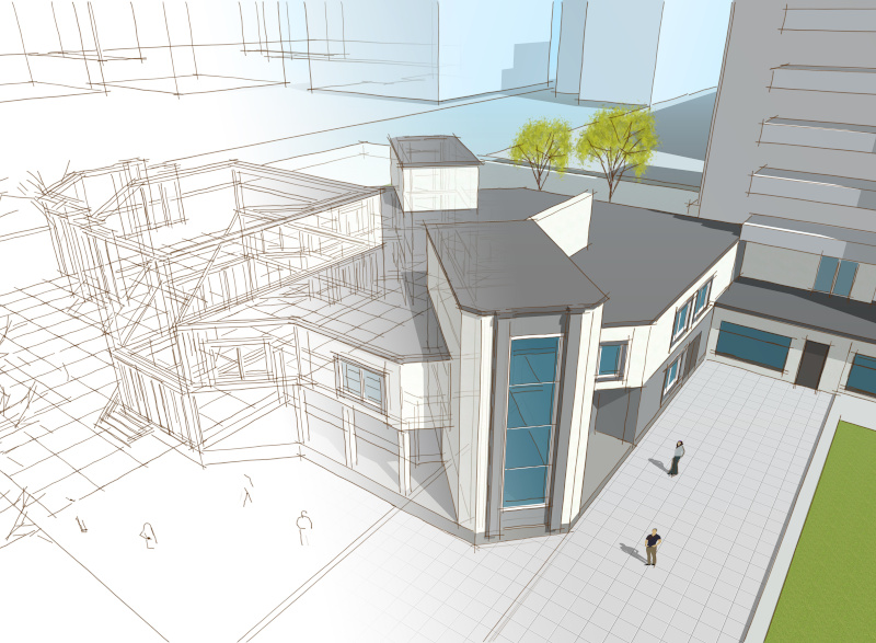
XBM
Existing Building Models
Survey and model existing condition BIM.
|
|
Field-verified architectural BIM models |
|
|
Cutting-edge reality capture instruments |
|
|
3D point clouds and 360° photography |
|
|
Models developed to LOD 300 standard |
|
|
Accurate accounting of square footage |
Reality Capture BIM Models
|
SIA
Space Inventory Audit
Walk floors, inspect rooms and classify space.
|
|
Trained technicians with mobile devices |
|
|
Room types, departments, occupants |
|
|
Multi-step survey review and verification |
|
|
Reliable information on campus space |
|
|
Data-driven space inventory reporting |
Reliable Space Information

|
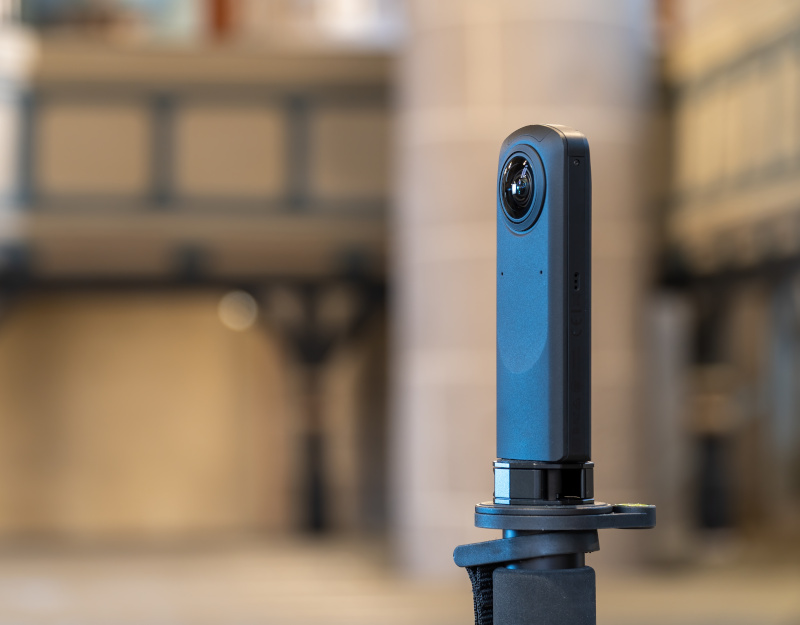
P360
Room Photography
Capture high-quality panoramas of space.
|
|
Skilled technicians with 360° cameras |
|
|
High-resolution spherical photographs |
|
|
Dual lenses, stitching, image stabilization |
|
|
Immersive panoramic viewing experience |
|
|
Inspect and visualize your space in 360° |
Visualize Rooms in 360°
|
QRID
Equipment Surveys
Locate, tag and document fixed equipment.
|
|
Technicians equipped w/ mobile devices |
|
|
Indoor M/E/P assets, fixtures, life safety |
|
|
Outdoor site equipment and fixtures |
|
|
Industrial-strength tags with QR codes |
|
|
Asset specifications, photos, locations |
Asset Management Data

|
PMP
Preventive Maintenance
Develop a proactive maintenance program.
|
|
Regular maintenance and inspections |
|
|
Establish checklists, protocols, schedules |
|
|
Design PMs around equipment inventories |
|
|
PM inspection records & service histories |
|
|
FacilitiesLink integration and GIS exports |
PM Program Development

|
PDS
Project Database Services
Find project information when you need it.
|
|
BIM, CAD, as-builts, drawings, site maps |
|
|
Construction docs, manuals, warranties |
|
|
Reviewed, organized, verified and archived |
|
|
Floor plans and space data on occupancy |
|
|
Equipment records, PM asset scheduling |
Close-Out Projects Properly

|
DPR
Digital Plan Room
Scan and catalog large-format A/E/C plans.
|
|
Quality scans of hard-copy plan sets |
|
|
Cataloged plan sets, organized sheets |
|
|
Checked and verified by skilled technicians |
|
|
Find project drawings quickly and easily |
|
|
Accessed via the web, archived backups |
Organized Digital Plan Sets

|
DSR
Digital Scan Reproduction
Scan and index building documentation.
|
|
Construction documents, O&M manuals |
|
|
Quality scans of individual document sets |
|
|
Organized, cataloged, checked and verified |
|
|
Find building documents quickly & easily |
|
|
Accessed via the web, archived backups |
Electronic Facility Documents

|
C3P
CAD Conformance
Cleaning up and conforming for consistency.
|
|
Utilizes NCS / AIA industry standards |
|
|
25-Step CAD management checklist |
|
|
Consistent file structure and styling |
|
|
Usable and manageable floor plans |
|
|
Foundation for space management |
Standardized Floor Plans

|
C2B
CAD-BIM Conversions
Shortest path from CAD plans to BIM models.
|
|
Walls, windows, doors, stairs, ceilings |
|
|
Field-verification of extrapolated models |
|
|
Developed from existing CAD design files |
|
|
Detailed modeling by skilled technicians |
|
|
Cost-effective development of BIM assets |
Developing BIM from CAD

|
Need more info?
Reach out to start a conversation.
Sales can provide you with balanced
information about what's possible.
information about what's possible.
|
Sales, Pacific Region
|
|
Jacob Eaton, Director jeaton@metabim.com (831) 316-7647 |
|
Sales, Great Lakes Region
|
|
Coming Soon info@metabim.com (831) 316-7647 |
|
Sales, Northeast Region
|
|
Frank Fasano, VP ffasano@metabim.com (831) 316-7647 |
|
Sales, Midwest Region
|
|
Coming Soon info@metabim.com (831) 316-7647 |
|
Sales, Mid-Atlantic Region
|
|
Coming Soon info@metabim.com (831) 316-7647 |
|
Sales, Southeast Region
|
|
Coming Soon info@metabim.com (831) 316-7647 |
Interested in joining MetaBIM?
Browse current Job Openings in
Enterprise Sales, Account Management and Engineering.
|
MetaBIM, Inc.
5321 Scotts Valley Dr., #105 Scotts Valley, CA 95066 USA |
© 2012-26 MetaBIM, Inc.
All Rights Reserved |